Location of Contrexeville
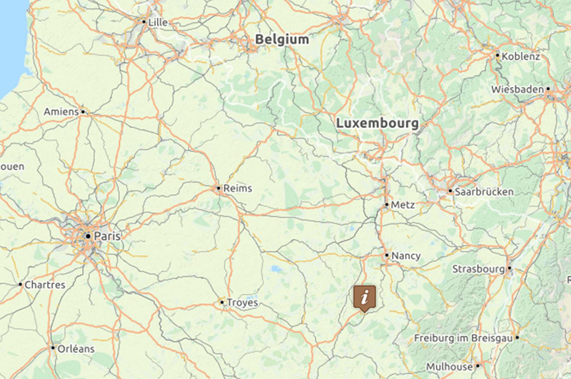
Contrexeville is located approximately 350 km (210 miles) southeast of Paris.
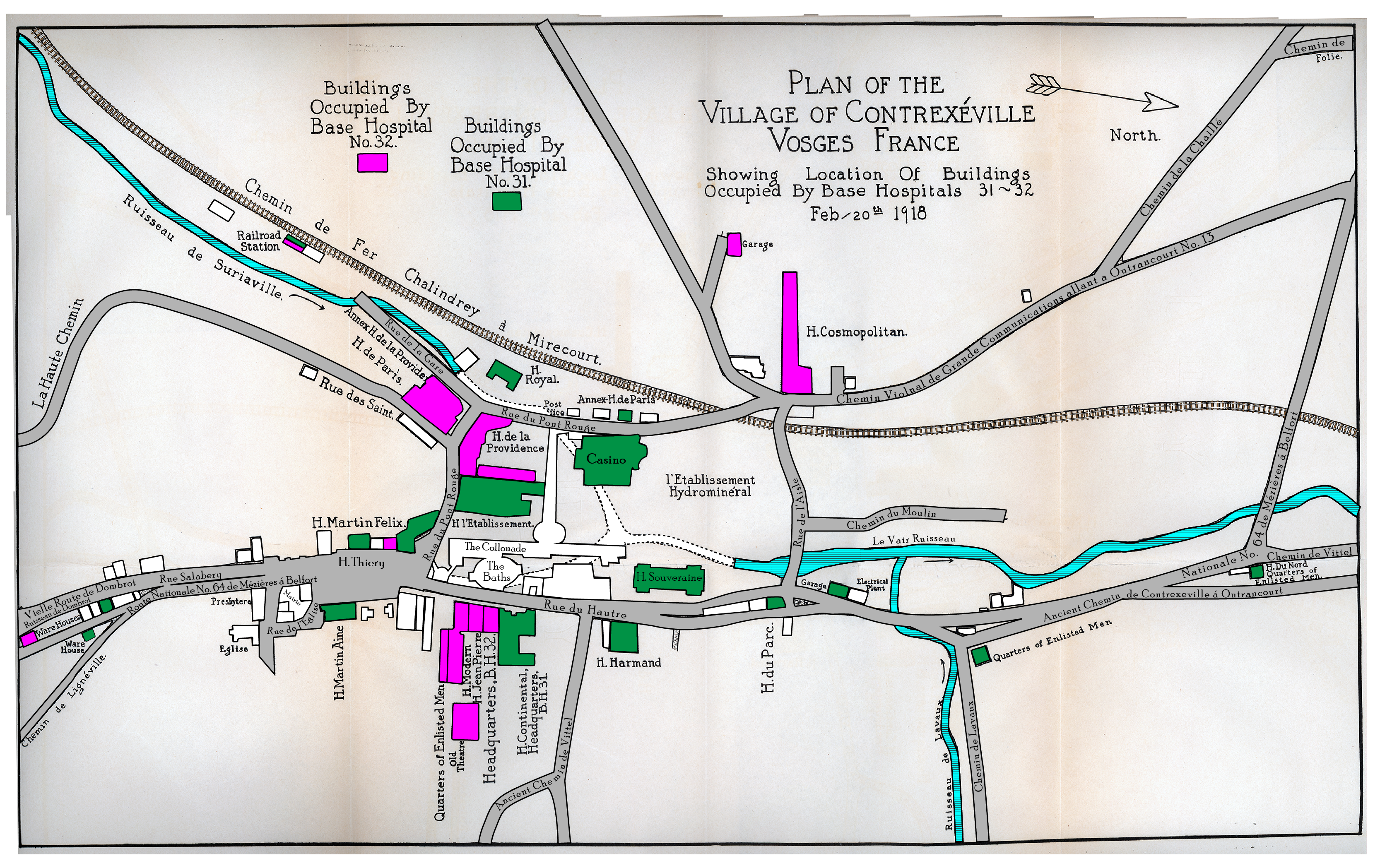
City Map - Contrexeville in 1918
The image shown below is a drawing of the layout of Contrexeville in 1918, as included in the unit history of Base Hospital 32. (Hitz, Benjamin D. A history of Base Hospital 32, including Unit R. Indianapolis, 1922.) The image was scanned and then additional illustration and color added to differentiate the buildings used by Base Hospital 32 and Base Hospital 31.
Contrexeville offered several large hotels for use by the AEF. From the unit history:
Of these the Cosmopolitain-Palace, together with the Hotel de Paris, Hotel Royal and Hotel de la Providence and Annex, were grouped in close proximity in the upper part of town, and were divided from the others by the park of the Etablissement des Eaux. These buildings were assigned to Base Hospital 32. The second group of approximately the same bed capacity, was located within and below the park, and was reserved for Base Hospital 31, a unit organized in Youngstown, Ohio, under command of Major A. E. Schlanser, which was scheduled to arrive in Contrexeville about January 1st. [Hitz, p. 46]
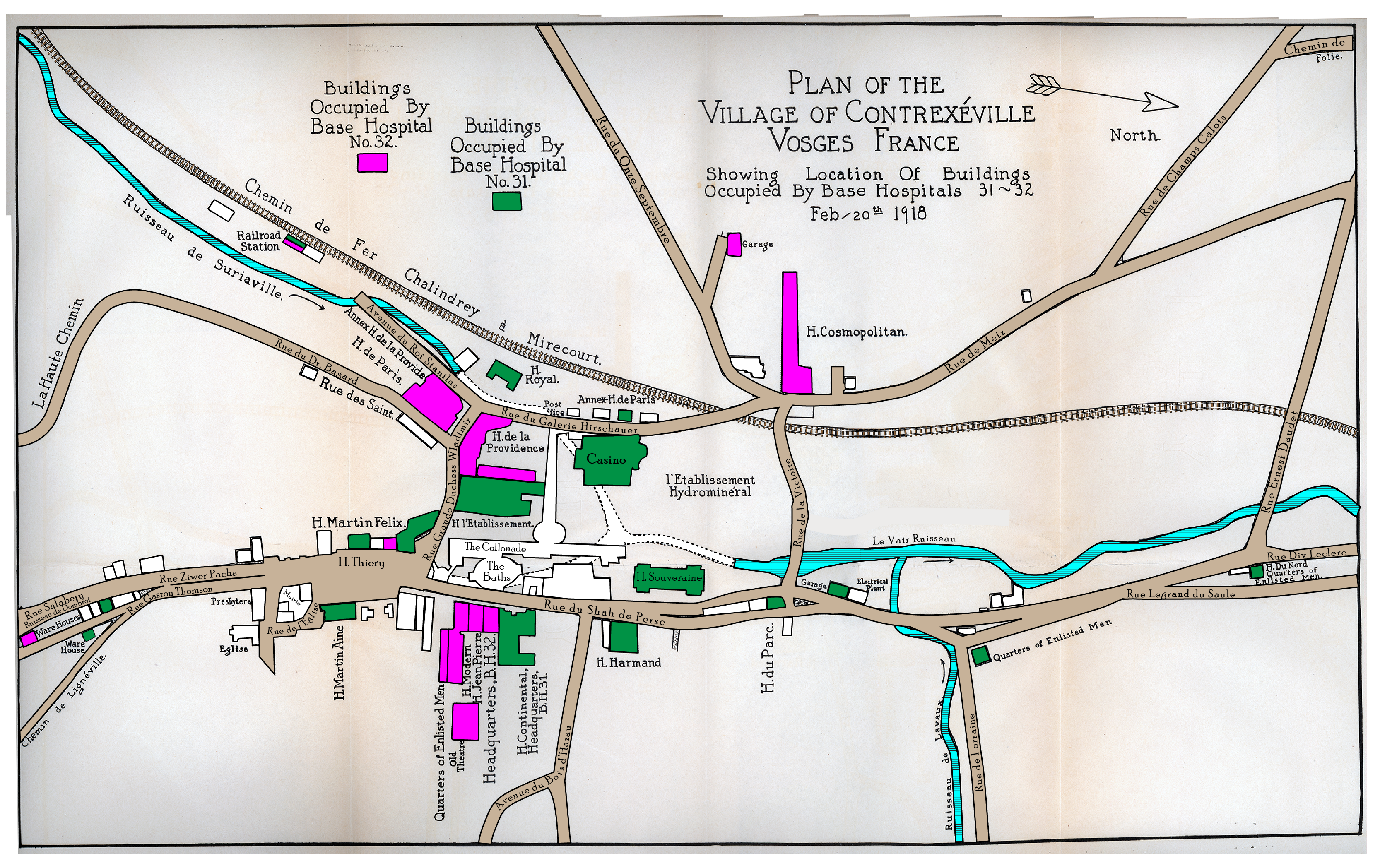
The street names shown on the map are as they were in 1918. Today (in 2017), many streets have different names. Click on the map for a larger image (this is a large file and may require more time to load.)You will need to click the "back" button in your browser to return to this page.
City Map - Contrexeville (street names of 2017)
The image shown below illustrates the same plan but with street names as they appear on Google Maps in 2017. Click on the map for a larger image (this is a large file and may require more time to load.) You will need to click the "back" button in your browser to return to this page.
(Above) Google Map - Contrexeville
Click on the Google Map image above to move around Contrexeville. You can zoom in and out by scrolling your mouse button. The markers on the map indicate the locations of the buildings which were used for the AEF base hospitals in 1917-1918. In some cases, the building no longer exists, and the marker has been placed on the approximate location of the site. The blue markers indicate locations where the building is still on site, and the magenta markers are sites where the building used by the AEF unit no longer exists.
(Above) Google Map - Base Hospital 31
This map was created by Cassie Nespor, Librarian, Maag Library, Youngstown State University. She has been actively researching Base Hospital 31 and its personnel. This interactive map provides information and images about BH 31 personnel and the station assignments.